We are on Google Maps - plan a journey in Pécs on Google Maps!
example on mobile | browser example | for developers
Journey planner on mobile - example
You can download the official application here: Google Play, Apple Store .
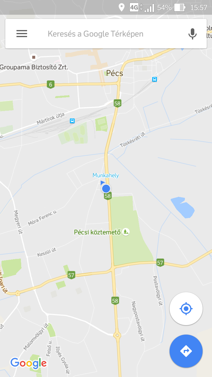
After starting the application you can start journey planning with a tap of the blue icon at the left bottom corner of the screen.
There is more possibility to declare starting and finishing points:
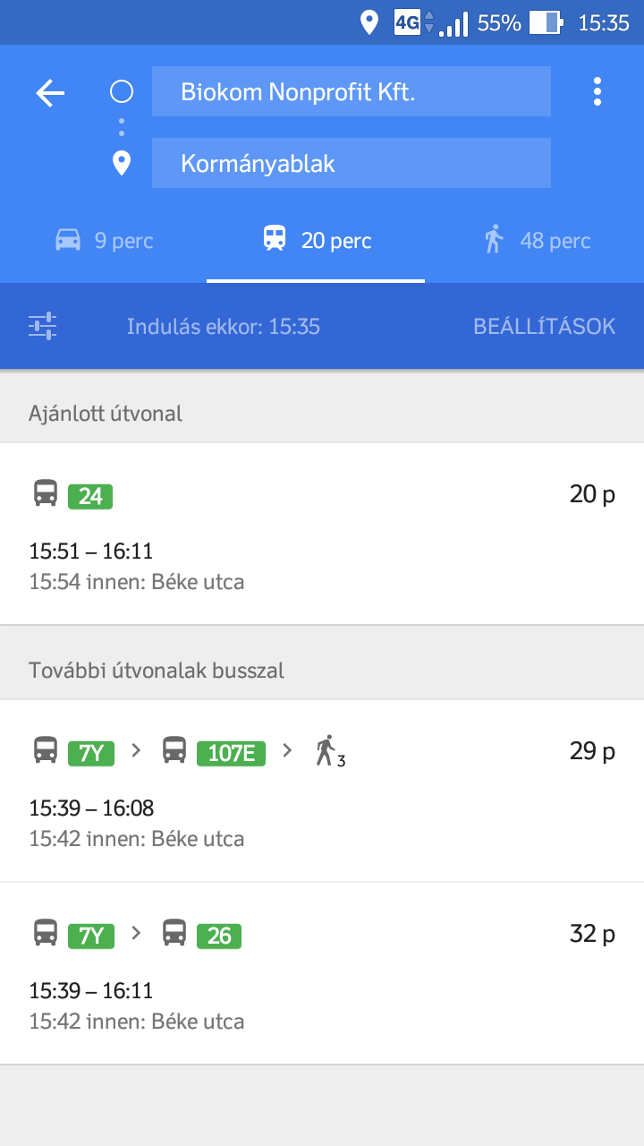
After selecting endpoints, choose the Public Transport mode, Google Maps will suggest you connections immediately.
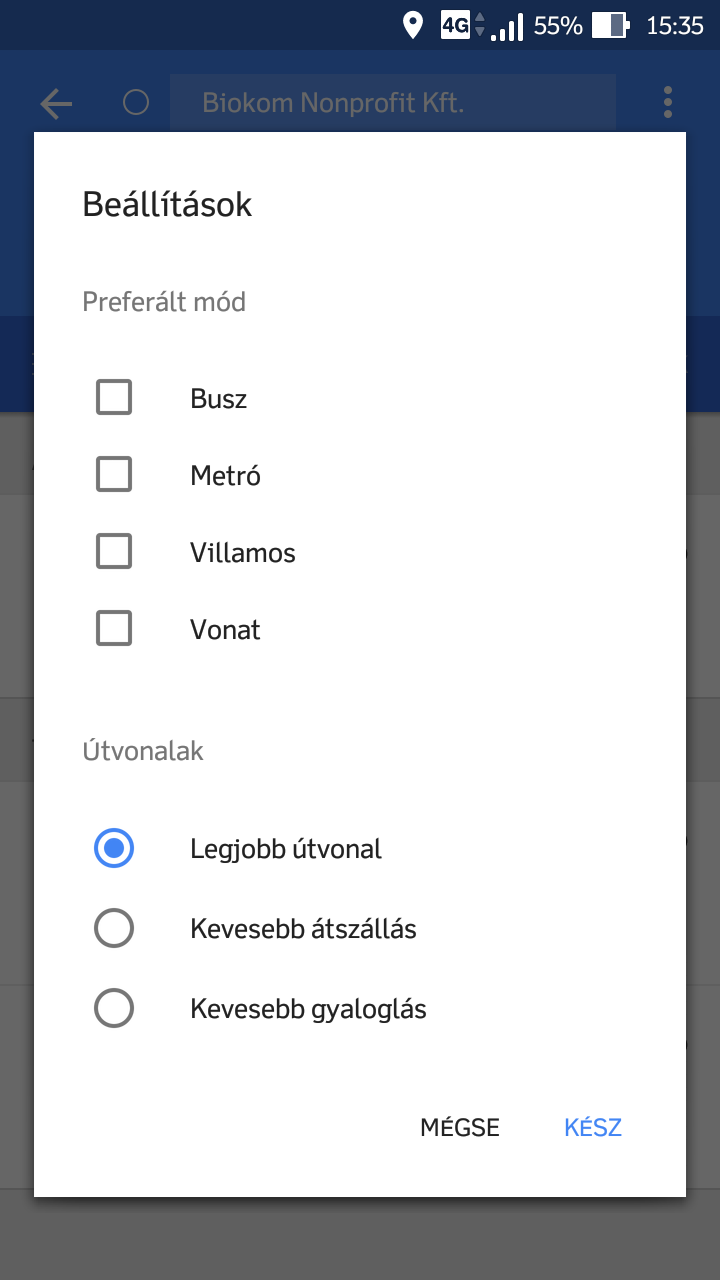
Tapping "Options" you can change preferred mode or the priority of routing. In our city in Pécs the only transportation mode is "Bus", but at "Routes" you can ask for the best connection, or connections with fewer transfers or less walking. Please note, that planning with fewer transfers or less walking can result in a much longer connection, so a more convenient journey can take more time.

There is more option to set the time of the journey. At first Google Maps suggest connections for instant departure, but tapping on "Depart at" you can set a later departure time or even set the desired arrival time. Setting this, Google Maps gives you journey suggestions, you can reach your destination in the given time with.

Tapping on a result, the detailed itinerary loads. tapping the map gives you a fullscreen map view, but you can get even more details about walking or traveling when you tap them.
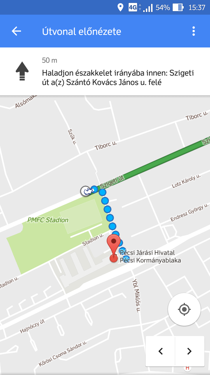
Tapping the walking itinerary you can overview the walking route step-by-step.
WARNING!
Google Maps uses our static schedule data. Due to the specialty of the local traffic there can be differences between schedule and realtime data. Google Maps cannot take full care about traffic lamps, all walking possibilities, and it does not know the number of floors, gates or any routes inside your destination, please always calculate with these if planning a journey!
Journey planner in a browser - example
Under translating...
For developers
We share our schedule in GTFS format, which is an open source database made by Google. There are detailed reference about the GTFS format in English:
- GTFS in Wikipedia
- Google Transit API
You can download our GTFS databases here:

